
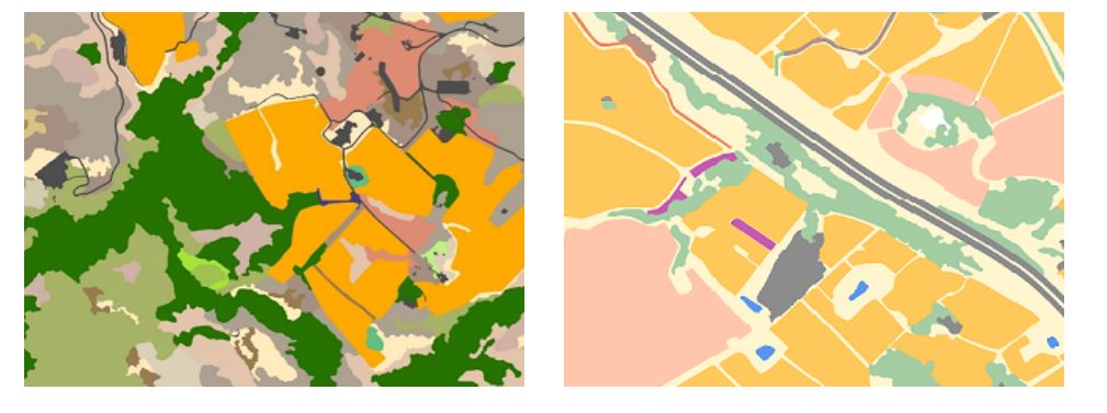
We are thrilled to announce that the countywide vegetation and habitat map is complete and available for download. The Vegetation and Habitat map provides a fine-scale representation of natural vegetation in Sonoma County. The map has 212,391 polygons countywide, and represents 83 different vegetation communities and land cover types. The map was created using a combination of field work, aerial photo interpretation, and computer-based modeling and machine learning. The map is based on a vegetation key developed by the California Department of Fish and Wildlife and the California Native Plant Society for the Sonoma Veg Map Program.
Sonoma County Fine-Scale Vegetation and Habitat Map
The Fine-Scale Vegetation and Habitat map is the culmination of several years of hard work by a team led by the Sonoma County Agricultural Preservation and Open Space District and the Sonoma County Water Agency.
In the coming months, the Sonoma Veg Map team will complete an accuracy assessment for the Fine-Scale Vegetation and Habitat map. The accuracy assessment will include user's and producer's evaluation of accuracy for the more common fine scale map classes, as well as overall map accuracy. After the accuracy assessment is completed, it will be published along with a final report and methods document for the Fine-Scale Vegetation and Habitat map.
The Fine-Scale Vegetation and Habitat map is available as watershed downloads and countywide downloads in various formats from http://sonomavegmap.org/data-downloads. We have also produced a series of poster-sized vegetation and habitat PDF maps. Also, check out this product datasheet, which provides details about the vegetation and habitat map.
Along with the vegetation map, there are a number of other related fine-scale map products that are now available for download. For more information, check out our Spring, 2017 newsletter.