
The Vegetation Mapping and LiDAR Program is thrilled to welcome Dr. Jordan Golinkoff as the newest member of our Vegetation Mapping and Remote Sensing Advisory Committee.
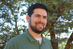
Dr. Jordan Golinkoff
The committee advises the mapping team on state-of-the art mapping techniques and methods. Dr. Golinkoff is an expert at using LiDAR to help map, measure, and manage forestland in Northern California. A Forest Carbon Analyst for the Conservation Fund, Dr. Golinkoff will add to the Advisory Committee's LiDAR and forest mapping expertise.
Dr. Golinkoff is one of the nation's leading experts on forest carbon project development, monitoring, and verification. He joined The Conservation Fund in 2005 and has extensive experience in forest inventory and projection methodologies, statistical analysis, and carbon accounting practices and standards compliance. A trained forester and Climate Action Reserve and California Air Resources Board approved verifier, Jordan is responsible for forest inventory design and carbon offset registration for The Conservation Fund, the nation's largest seller of verified forest carbon offsets. Jordan has a B.A. in Computer Science from Yale University, a Masters of Forestry from Duke University, and a Ph.D. in forest mensuration and biometrics from the University of Montana.